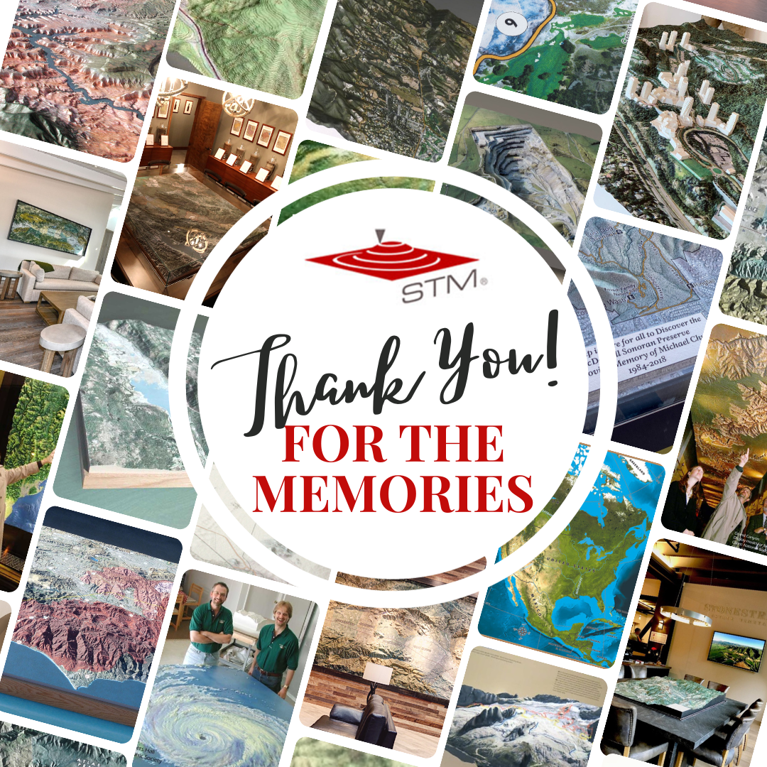
It's never easy saying goodbye, but after 23 years, it's time for us to close our doors and set off to explore all the national, state, and regional parks, museums, reserves, ski resorts, golf courses, visitors' centers, wineries, ranches, business offices, real estate firms, and government facilities that house our custom, geospatially accurate 3D map models.
We're proud of the work we've produced and the exemplary customer service we've provided for our loyal clients worldwide. Thousands of map models have been designed, produced, and proudly displayed in US cities from coast to coast, over 100 countries, and six continents (sorry, Antarctica!)
Although our doors will close on October 31, 2023, we'll still check our email, info@stm-usa.com, from time to time because we will always strive to provide superior customer service, even when we've hit the proverbial trails!
We thank you for your patronage and for allowing us to help bring your concept to reality, allowing you and your end users to enjoy the beauty of your Solid Terrain Modeling map model for years to come!